
Östra Torn topographic map
Interactive map
Click on the map to display elevation.
About this map
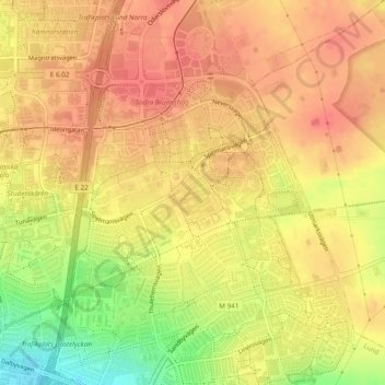
Name: Östra Torn topographic map, elevation, terrain.
Average elevation: 71 m
Minimum elevation: 32 m
Maximum elevation: 88 m
Other topographic maps
Click on a map to view its topography, its elevation and its terrain.
Lund
Sweden > Skåne County > Lund
Lund, Lund Municipality, Skåne County, Sweden
Average elevation: 42 m