Geolocate

Newton topographic map

Click on the map to display elevation.

About this map

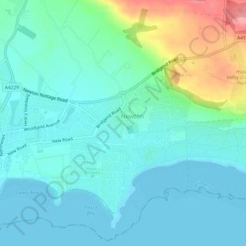
Name: Newton topographic map, elevation, terrain.

Location: Newton, Bridgend County Borough, Wales, United Kingdom (51.47947 -3.68883 51.48992 -3.66585)

Average elevation: 22 m

Minimum elevation: 0 m

Maximum elevation: 100 m

Gear up for your next adventure:

☀️Portable Solar Chargers - High-efficiency panels to hang on your backpack while walking
📟Satellite Messengers - Two-way satellite communication to stay in touch beyond the cellular grid
🏃Compression Recovery Socks - Reduce leg fatigue after heavy days of elevation gain
🥾Hiking Boots - Durable hiking boots for trails and rough terrain
🧤Thermal Hiking Gloves - Keep your hands warm and functional during high-altitude winter treks

As an Amazon Associate, this site earns from qualifying purchases at no extra cost to you.