
Bumisari topographic map
Interactive map
Click on the map to display elevation.
About this map
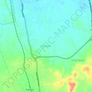
Name: Bumisari topographic map, elevation, terrain.
Location: Bumisari, Lampung Selatan, Lampung, Indonesia (-5.29654 105.17486 -5.25654 105.21486)
Average elevation: 96 m
Minimum elevation: 75 m
Maximum elevation: 154 m