
Pouhon topographic map
Interactive map
Click on the map to display elevation.
About this map
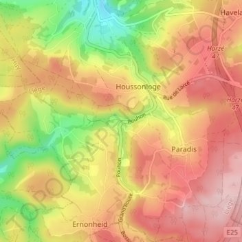
Name: Pouhon topographic map, elevation, terrain.
Location: Pouhon, Aywaille, Liège, Wallonie, 4920, Belgique (50.39994 5.65416 50.43994 5.69416)
Average elevation: 349 m
Minimum elevation: 225 m
Maximum elevation: 440 m