
Black Pearl topographic map
Interactive map
Click on the map to display elevation.
About this map
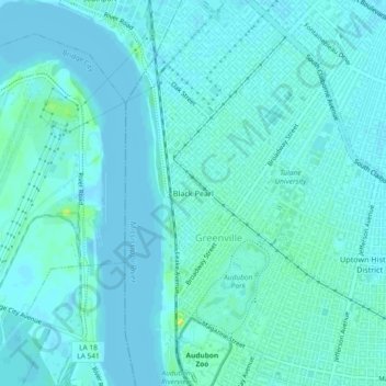
Name: Black Pearl topographic map, elevation, terrain.
Average elevation: 3 m
Minimum elevation: -1 m
Maximum elevation: 19 m
Black Pearl is located at 29°56′11″N 90°08′02″W / 29.93639°N 90.13389°W / 29.93639; -90.13389 and has an elevation of 8 feet (2.4 m). According to the United States Census Bureau, the district has a total area of 0.49 square miles (1.3 km2). 0.26 square miles (0.67 km2) of which is land and 0.23 square miles (0.60 km2) (46.94%) of which is water.