
Cerro Chato topographic map
Interactive map
Click on the map to display elevation.
About this map
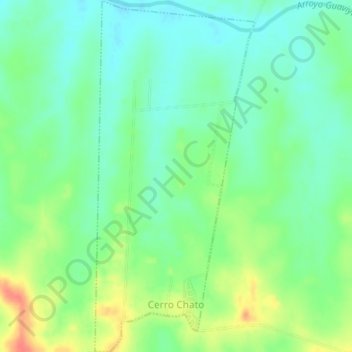
Name: Cerro Chato topographic map, elevation, terrain.
Location: Cerro Chato, Paysandú, 60001, Uruguay (-31.87581 -57.54612 -31.84256 -57.52826)
Average elevation: 96 m
Minimum elevation: 77 m
Maximum elevation: 129 m