
Peña topographic map
Interactive map
Click on the map to display elevation.
About this map
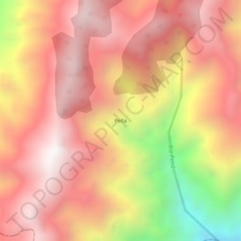
Name: Peña topographic map, elevation, terrain.
Location: Peña, Ituango, Norte, Antioquia, Colômbia (7.10259 -75.87303 7.14259 -75.83303)
Average elevation: 2,361 m
Minimum elevation: 1,381 m
Maximum elevation: 2,897 m