
La Pila topographic map
Interactive map
Click on the map to display elevation.
About this map
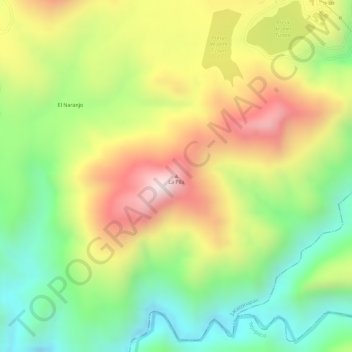
Name: La Pila topographic map, elevation, terrain.
Location: La Pila, Zacazonapan, Estado de México, México (19.02519 -100.24510 19.02529 -100.24500)
Average elevation: 1,312 m
Minimum elevation: 1,074 m
Maximum elevation: 1,572 m