
Tharandt topographic map
Interactive map
Click on the map to display elevation.
About this map
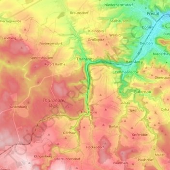
Name: Tharandt topographic map, elevation, terrain.
Average elevation: 340 m
Minimum elevation: 157 m
Maximum elevation: 479 m
In der DDR-Zeit war die Stadt ein Zentrum der Umweltschutzbewegung im späteren Umweltbildungshaus Johannishöhe.