
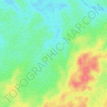
Gorar topographic map
Interactive map
Click on the map to display elevation.
About this map
Name: Gorar topographic map, elevation, terrain.
Location: Gorar, Maluku, Indonesia (-5.89387 134.35729 -5.85387 134.39729)
Average elevation: 27 m
Minimum elevation: 2 m
Maximum elevation: 68 m