
Sechura topographic map
Interactive map
Click on the map to display elevation.
About this map
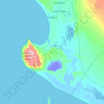
Name: Sechura topographic map, elevation, terrain.
Location: Sechura, Provincia de Sechura, Departamento de Piura, Perú (-6.37209 -81.14956 -5.47035 -80.05298)
Average elevation: 25 m
Minimum elevation: -25 m
Maximum elevation: 458 m