
Santa Lucía topographic map
Interactive map
Click on the map to display elevation.
About this map
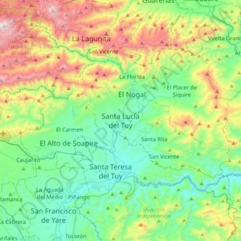
Name: Santa Lucía topographic map, elevation, terrain.
Average elevation: 461 m
Minimum elevation: 73 m
Maximum elevation: 1,375 m
Other topographic maps
Click on a map to view its topography, its elevation and its terrain.
Santa Rita
Venezuela > Miranda > Santa Lucía > Santa Rita
Santa Rita, Santa Lucía, Parroquia Santa Lucia, Municipio Paz Castillo, Miranda, Venezuela
Average elevation: 302 m