
Parque Nacional Pan de Azúcar topographic map
Interactive map
Click on the map to display elevation.
About this map
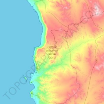
Name: Parque Nacional Pan de Azúcar topographic map, elevation, terrain.
Average elevation: 379 m
Minimum elevation: 0 m
Maximum elevation: 1,122 m