
Gestel topographic map
Interactive map
Click on the map to display elevation.
About this map
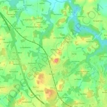
Name: Gestel topographic map, elevation, terrain.
Average elevation: 41 m
Minimum elevation: 15 m
Maximum elevation: 76 m
Other topographic maps
Click on a map to view its topography, its elevation and its terrain.
Vannes
Frankreich > Bretagne > Morbihan > Vannes
Vannes, Morbihan, Bretagne, Metropolitanes Frankreich, 56000, Frankreich
Average elevation: 24 m