
Make a donation
Gear up for your next adventure:
As an Amazon Associate, this site earns from qualifying purchases at no extra cost to you.
De Pollen topographic map
Click on the map to display elevation.
Make a donation
Gear up for your next adventure:
As an Amazon Associate, this site earns from qualifying purchases at no extra cost to you.
About this map
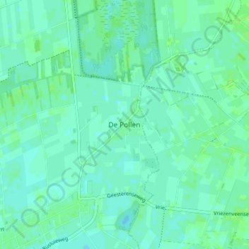
Name: De Pollen topographic map, elevation, terrain.
Average elevation: 12 m
Minimum elevation: 8 m
Maximum elevation: 16 m
Make a donation
Gear up for your next adventure:
As an Amazon Associate, this site earns from qualifying purchases at no extra cost to you.
Other topographic maps
Click on a map to view its topography, its elevation and its terrain.
Engbertsdijksvenen
Nederland > Overijssel > Vriezenveen
Op korte afstand van elkaar liggen verschillende landschappen. Het gebied kent duidelijke hoogteverschillen. De zandige hogere delen worden haren genoemd, de hoogste zijn bedekt met bos. Het toponiem 'haar' komt voor in meerdere namen van dorpen in de omgeving zoals Kloosterhaar, Westerhaar-Vriezenveensewijk…
Average elevation: 14 m