
Prima Damansara topographic map
Interactive map
Click on the map to display elevation.
About this map
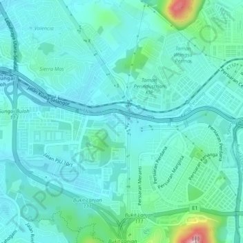
Name: Prima Damansara topographic map, elevation, terrain.
Location: Prima Damansara, PJ, Selangor, 47830, Malaysia (3.17793 101.58023 3.21793 101.62023)
Average elevation: 79 m
Minimum elevation: 33 m
Maximum elevation: 322 m
Other topographic maps
Click on a map to view its topography, its elevation and its terrain.
Kota Damansara Community Forest Reserve
Malaysia > Selangor > Petaling Jaya > Prima Damansara
Kota Damansara Community Forest Reserve, Jalan Pekaka 8/9, PJU 5, Kota Damansara, Kota Damansara, Petaling Jaya, Selangor, 47830, Malaysia
Average elevation: 85 m