
Jassel topographic map
Interactive map
Click on the map to display elevation.
About this map
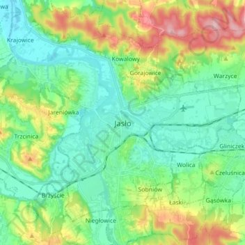
Name: Jassel topographic map, elevation, terrain.
Location: Jassel, powiat jasielski, Woiwodschaft Karpatenvorland, Polen (49.71044 21.40176 49.78358 21.54169)
Average elevation: 263 m
Minimum elevation: 215 m
Maximum elevation: 377 m