
Tamrabahat topographic map
Interactive map
Click on the map to display elevation.
About this map
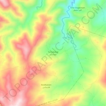
Name: Tamrabahat topographic map, elevation, terrain.
Average elevation: 385 m
Minimum elevation: 159 m
Maximum elevation: 611 m
Other topographic maps
Click on a map to view its topography, its elevation and its terrain.
Tarifa
Maroc > cercle du Rif > Oulad Amghar > Oulad Amghar
Tarifa, Oulad Amghar, Caïdat de Oulad Amghar, Cercle du Rif, Province de Driouch, Oriental, Maroc
Average elevation: 82 m