
Maktaaral District topographic map
Interactive map
Click on the map to display elevation.
About this map
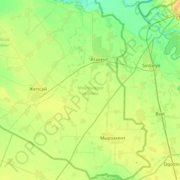
Name: Maktaaral District topographic map, elevation, terrain.
Location: Maktaaral District, Turkistan Region, Kazakhstan (40.56865 68.20182 41.04755 68.66312)
Average elevation: 264 m
Minimum elevation: 247 m
Maximum elevation: 319 m
Other topographic maps
Click on a map to view its topography, its elevation and its terrain.