
Linhares topographic map
Interactive map
Click on the map to display elevation.
About this map
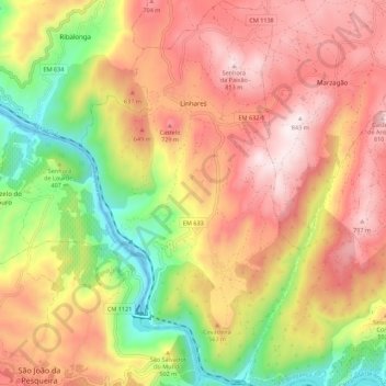
Name: Linhares topographic map, elevation, terrain.
Location: Linhares, Carrazeda de Ansiães, Bragança, Norte, Portugal (41.14540 -7.39257 41.22825 -7.32892)
Average elevation: 486 m
Minimum elevation: 73 m
Maximum elevation: 834 m