
Itter topographic map
Interactive map
Click on the map to display elevation.
About this map
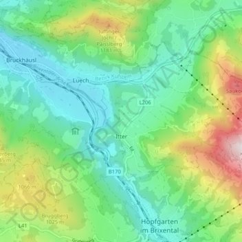
Name: Itter topographic map, elevation, terrain.
Location: Itter, Kitzbühel, Tirol, 6305, Österreich (47.45605 12.11408 47.49104 12.19304)
Average elevation: 811 m
Minimum elevation: 528 m
Maximum elevation: 1,511 m