
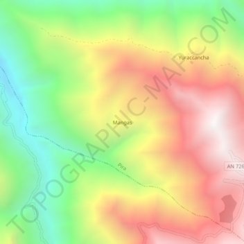
Mangas topographic map
Interactive map
Click on the map to display elevation.
About this map
Name: Mangas topographic map, elevation, terrain.
Location: Mangas, Pira, Provincia de Huaraz, Áncash, Perú (-9.59748 -77.76937 -9.55748 -77.72937)
Average elevation: 3,103 m
Minimum elevation: 2,307 m
Maximum elevation: 3,917 m