
Badja topographic map
Interactive map
Click on the map to display elevation.
About this map
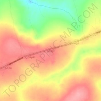
Name: Badja topographic map, elevation, terrain.
Location: Badja, Ouaka, Central African Republic (5.87197 21.08733 5.91197 21.12733)
Average elevation: 569 m
Minimum elevation: 499 m
Maximum elevation: 612 m