
Klarenbeek topographic map
Interactive map
Click on the map to display elevation.
About this map
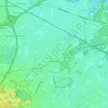
Name: Klarenbeek topographic map, elevation, terrain.
Location: Klarenbeek, Apeldoorn, Gelderland, Nederland (52.14089 5.99113 52.19935 6.06738)
Average elevation: 10 m
Minimum elevation: 4 m
Maximum elevation: 24 m
Other topographic maps
Click on a map to view its topography, its elevation and its terrain.
Klarenbeek
Nederland > Gelderland > Klarenbeek
Klarenbeek, Gelderland, Nederland, 7382, Nederland
Average elevation: 9 m