
Silz topographic map
Interactive map
Click on the map to display elevation.
About this map
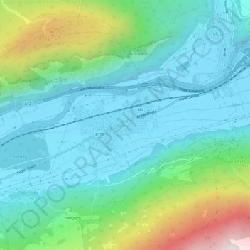
Name: Silz topographic map, elevation, terrain.
Location: Silz, Gemeinde Silz, Bezirk Imst, Tirol, 6424, Österreich (47.24690 10.91329 47.28690 10.95329)
Average elevation: 951 m
Minimum elevation: 639 m
Maximum elevation: 1,967 m