Mézières (VD) topographic map
Interactive map
Click on the map to display elevation.
About this map
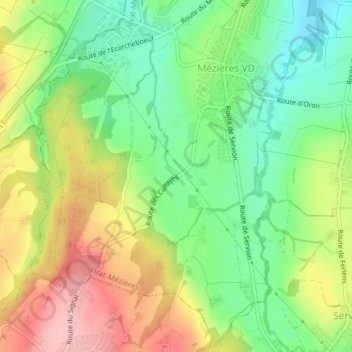
Name: Mézières (VD) topographic map, elevation, terrain.
Average elevation: 749 m
Minimum elevation: 688 m
Maximum elevation: 841 m

Click on the map to display elevation.
Name: Mézières (VD) topographic map, elevation, terrain.
Average elevation: 749 m
Minimum elevation: 688 m
Maximum elevation: 841 m