
Hestreux topographic map
Interactive map
Click on the map to display elevation.
About this map
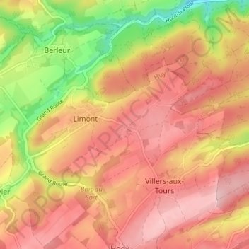
Name: Hestreux topographic map, elevation, terrain.
Location: Hestreux, Limont, Anthisnes, Hoei, Luik, Wallonië, 4163, België (50.48678 5.48222 50.52678 5.52222)
Average elevation: 230 m
Minimum elevation: 122 m
Maximum elevation: 296 m