
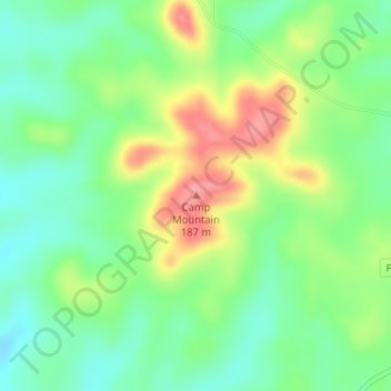
Camp Mountain topographic map
Interactive map
Click on the map to display elevation.
About this map
Name: Camp Mountain topographic map, elevation, terrain.
Location: Camp Mountain, Upshur County, Texas, 75640, United States (32.78203 -94.79554 32.78213 -94.79544)
Average elevation: 132 m
Minimum elevation: 98 m
Maximum elevation: 184 m