
Warrenton topographic map
Interactive map
Click on the map to display elevation.
About this map
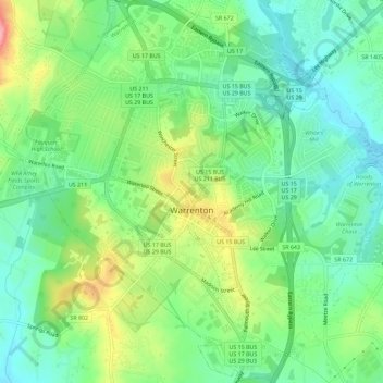
Name: Warrenton topographic map, elevation, terrain.
Location: Warrenton, Fauquier County, Virginia, VS (38.69344 -77.82456 38.73789 -77.77759)
Average elevation: 159 m
Minimum elevation: 118 m
Maximum elevation: 237 m