
Florida Keys topographic map
Click on the map to display elevation.
Florida Keys
Tropical cyclones present special dangers and challenges to the entire Keys. Because no area of the islands is more than 20 feet (6.1 m) above sea level (and many are only a few feet elevation), and water surrounds the islands, nearly every neighborhood is subject to flooding as well as hurricane winds. In response, many homes in the Keys are built on concrete stilts with the first floor being not legally habitable and enclosed by breakaway walls that are not strongly attached to the rest of the house. Nonetheless, Monroe County, as reported in the Federal Register, has estimated that there are between 8,000 and 12,000 illegal enclosures inhabited by people.
About this map
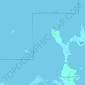
Name: Florida Keys topographic map, elevation, terrain.
Location: Florida Keys, Monroe County, Florida, United States (24.66704 -81.58319 24.66714 -81.58309)
Average elevation: 0 m
Minimum elevation: -2 m
Maximum elevation: 5 m
Other topographic maps
Click on a map to view its topography, its elevation and its terrain.