
Denison topographic map
Interactive map
Click on the map to display elevation.
About this map
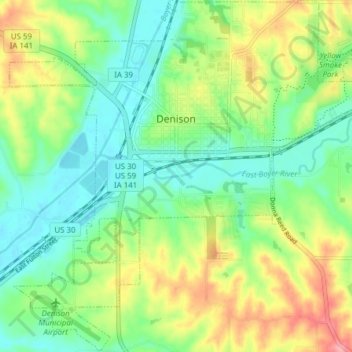
Name: Denison topographic map, elevation, terrain.
Location: Denison, Crawford County, Iowa, 51442, United States (41.98018 -95.39176 42.03679 -95.31489)
Average elevation: 386 m
Minimum elevation: 348 m
Maximum elevation: 453 m