
Lincoln Park topographic map
Interactive map
Click on the map to display elevation.
About this map
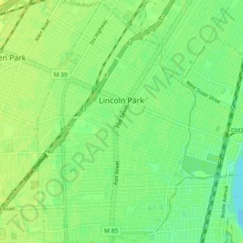
Name: Lincoln Park topographic map, elevation, terrain.
Location: Lincoln Park, Wayne County, Michigan, 48146, United States (42.22085 -83.20271 42.27158 -83.15567)
Average elevation: 180 m
Minimum elevation: 171 m
Maximum elevation: 186 m
Other topographic maps
Click on a map to view its topography, its elevation and its terrain.
Detroit River
United States > Michigan > Wayne County > Detroit
Detroit River, Detroit, Wayne County, Michigan, United States
Average elevation: 181 m
Redford Township
United States > Michigan > Wayne County
Redford Township, Wayne County, Michigan, 48239, United States
Average elevation: 195 m
Huron Township
United States > Michigan > Wayne County > Huron Township
Huron Township, Wayne County, Michigan, 48164, United States
Average elevation: 191 m