
Kouré topographic map
Interactive map
Click on the map to display elevation.
About this map
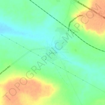
Name: Kouré topographic map, elevation, terrain.
Location: Kouré, Kollo, Tillabéri, Niger (13.29092 2.55563 13.33092 2.59563)
Average elevation: 236 m
Minimum elevation: 220 m
Maximum elevation: 257 m
Other topographic maps
Click on a map to view its topography, its elevation and its terrain.