
南浔区 topographic map
Interactive map
Click on the map to display elevation.
About this map
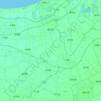
Name: 南浔区 topographic map, elevation, terrain.
Location: 南浔区, 湖州市, 浙江省, 313009, 中国 (30.62845 120.06801 30.93006 120.48408)
Average elevation: 4 m
Minimum elevation: -2 m
Maximum elevation: 23 m
Other topographic maps
Click on a map to view its topography, its elevation and its terrain.