
惠农区 topographic map
Interactive map
Click on the map to display elevation.
About this map
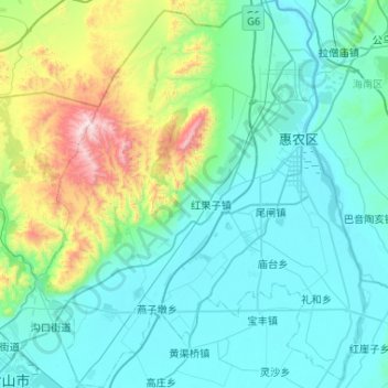
Name: 惠农区 topographic map, elevation, terrain.
Location: 惠农区, 石嘴山市, 宁夏回族自治区, 中国 (38.97806 106.42537 39.38180 106.86612)
Average elevation: 1,291 m
Minimum elevation: 1,081 m
Maximum elevation: 2,415 m
Other topographic maps
Click on a map to view its topography, its elevation and its terrain.