
Herkenbosch topographic map
Interactive map
Click on the map to display elevation.
About this map
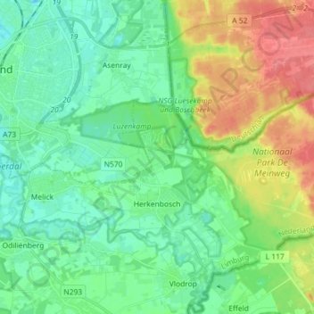
Name: Herkenbosch topographic map, elevation, terrain.
Location: Herkenbosch, Roerdalen, Limburg, Netherlands (51.14191 6.03762 51.19441 6.18072)
Average elevation: 49 m
Minimum elevation: 21 m
Maximum elevation: 89 m
Other topographic maps
Click on a map to view its topography, its elevation and its terrain.