
Southwood topographic map
Interactive map
Click on the map to display elevation.
About this map
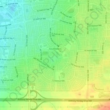
Name: Southwood topographic map, elevation, terrain.
Location: Southwood, Mill Woods, Division No. 11, Alberta, Canada (53.43772 -113.42008 53.45546 -113.39385)
Average elevation: 710 m
Minimum elevation: 691 m
Maximum elevation: 732 m