
Rio Ariranha topographic map
Interactive map
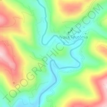
Click on the map to display elevation.
About this map
Name: Rio Ariranha topographic map, elevation, terrain.
Average elevation: 422 m
Minimum elevation: 296 m
Maximum elevation: 614 m
Other topographic maps
Click on a map to view its topography, its elevation and its terrain.
Linha São Rafael do Pinhal
Brasil > Santa Catarina > Seara
Linha São Rafael do Pinhal, Seara, Região Geográfica Imediata de Concórdia, Região Geográfica Intermediária de Chapecó, Santa Catarina, Região Sul, Brasil
Average elevation: 507 m