
Lenti topographic map
Interactive map
Click on the map to display elevation.
About this map
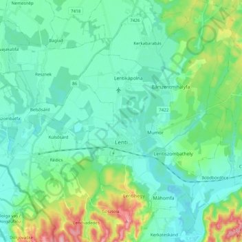
Name: Lenti topographic map, elevation, terrain.
Average elevation: 187 m
Minimum elevation: 152 m
Maximum elevation: 315 m
Other topographic maps
Click on a map to view its topography, its elevation and its terrain.
Keszthely
Keszthely, Keszthelyi járás, Zala vármegye, Transdanubie occidentale, Transdanubie, Hongrie
Average elevation: 154 m