Geolocate

Kildare topographic map

Click on the map to display elevation.

About this map

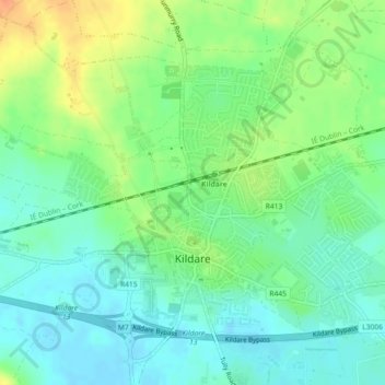
Name: Kildare topographic map, elevation, terrain.

Location: Kildare, County Kildare, Leinster, Ireland (53.15195 -6.92692 53.17101 -6.88808)

Average elevation: 102 m

Minimum elevation: 87 m

Maximum elevation: 129 m

Gear up for your next adventure:

🎒Daypacks - Compact backpacks for short hikes
🩹Wilderness First Aid Kits - Comprehensive medical kits tailored for hiking and remote exploration
🎒40L Day Hiking Backpacks - Comfortable packs with hydration support for long days exploring topographic peaks
Altimeter Barometer Watches - Outdoor watches with built-in sensors to track altitude changes and weather shifts
👖Convertible Hiking Trousers - Zip-off legs to adapt to changing temperatures throughout the day

As an Amazon Associate, this site earns from qualifying purchases at no extra cost to you.