
Wallersee topographic map
Interactive map
Click on the map to display elevation.
About this map
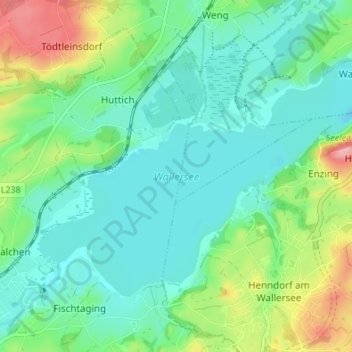
Name: Wallersee topographic map, elevation, terrain.
Average elevation: 531 m
Minimum elevation: 496 m
Maximum elevation: 628 m
Der See liegt heute auf 505 m Seehöhe und hat eine Ausdehnung von 6,4 km².