
Micheroux topographic map
Interactive map
Click on the map to display elevation.
About this map
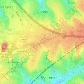
Name: Micheroux topographic map, elevation, terrain.
Location: Micheroux, Luik, Wallonië, 4630, België (50.61159 5.71554 50.65159 5.75554)
Average elevation: 251 m
Minimum elevation: 193 m
Maximum elevation: 318 m