
300M topographic map
Click on the map to display elevation.
About this map
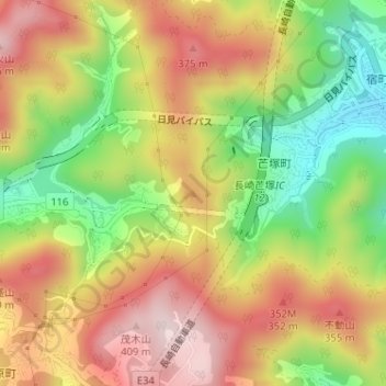
Name: 300M topographic map, elevation, terrain.
Location: 300M, Nagasaki, Nagasaki Prefecture, 850-8685, Japan (32.75377 129.92299 32.75387 129.92309)
Average elevation: 220 m
Minimum elevation: 13 m
Maximum elevation: 407 m