Geolocate

Clinton topographic map

Click on the map to display elevation.

About this map

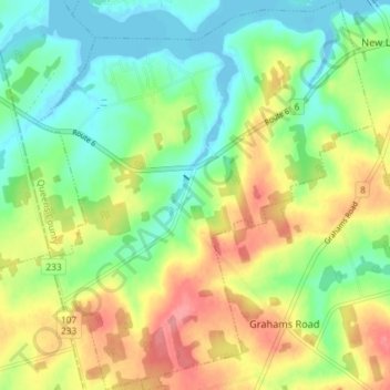
Name: Clinton topographic map, elevation, terrain.

Location: Clinton, Queens County, Prince Edward Island, C0B 1M0, Canada (46.41977 -63.57757 46.46985 -63.51461)

Average elevation: 35 m

Minimum elevation: -6 m

Maximum elevation: 85 m

Other topographic maps

Click on a map to view its topography, its elevation and its terrain.

Augustus

Canada > Prince Edward Island > Queens County

Average elevation: 30 m

Gear up for your next adventure:

🚴Cycling Backpacks - Backpacks for cyclists
🧤Hiking Gloves - Protective gloves for outdoor use
GPS Watches - GPS watches for outdoor sports
📡Portable Emergency Radios - Stay informed about weather warnings and bushfire alerts
☀️Portable Solar Chargers - High-efficiency panels to hang on your backpack while walking

As an Amazon Associate, this site earns from qualifying purchases at no extra cost to you.