
Ludeiros topographic map
Interactive map
Click on the map to display elevation.
About this map
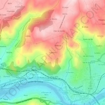
Name: Ludeiros topographic map, elevation, terrain.
Location: Ludeiros, Vilar de Astrés, Orense, Galicia, 32003, España (42.34581 -7.90500 42.38581 -7.86500)
Average elevation: 248 m
Minimum elevation: 87 m
Maximum elevation: 432 m
Other topographic maps
Click on a map to view its topography, its elevation and its terrain.