
Hewett topographic map
Interactive map
Click on the map to display elevation.
About this map
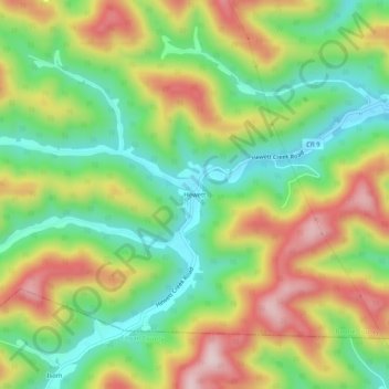
Name: Hewett topographic map, elevation, terrain.
Location: Hewett, Boone County, West Virginia, 25108, United States (37.94233 -81.87207 37.98233 -81.83207)
Average elevation: 382 m
Minimum elevation: 238 m
Maximum elevation: 573 m