
Nalbach topographic map
Interactive map
Click on the map to display elevation.
About this map
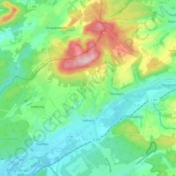
Name: Nalbach topographic map, elevation, terrain.
Location: Nalbach, Landkreis Saarlouis, Sarre, 66809, Allemagne (49.36685 6.74640 49.41578 6.85503)
Average elevation: 252 m
Minimum elevation: 183 m
Maximum elevation: 406 m