
Surg topographic map
Interactive map
Click on the map to display elevation.
About this map
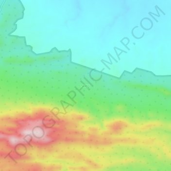
Name: Surg topographic map, elevation, terrain.
Location: Surg, تحصیل اٹک, ضلع اٹک, راولپنڈی ڈویژن, Pendjab, Pakistan (33.68616 72.23855 33.72616 72.27855)
Average elevation: 429 m
Minimum elevation: 301 m
Maximum elevation: 696 m