
Ruhmannsberg topographic map
Interactive map
Click on the map to display elevation.
About this map
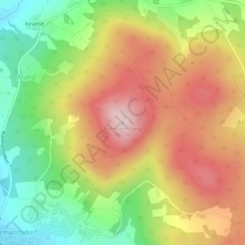
Name: Ruhmannsberg topographic map, elevation, terrain.
Average elevation: 688 m
Minimum elevation: 519 m
Maximum elevation: 856 m
Other topographic maps
Click on a map to view its topography, its elevation and its terrain.
Raßberg
Deutschland > Bayern > Hauzenberg > Raßberg
Raßberg, Hauzenberg, Landkreis Passau, Bayern, 94124, Deutschland
Average elevation: 511 m