
Chodos topographic map
Interactive map
Click on the map to display elevation.
About this map
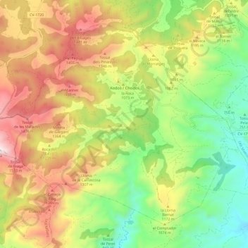
Name: Chodos topographic map, elevation, terrain.
Location: Chodos, l'Alcalatén, Castellón, Comunidad Valenciana, España (40.19666 -0.34976 40.26829 -0.23393)
Average elevation: 1,051 m
Minimum elevation: 538 m
Maximum elevation: 1,687 m